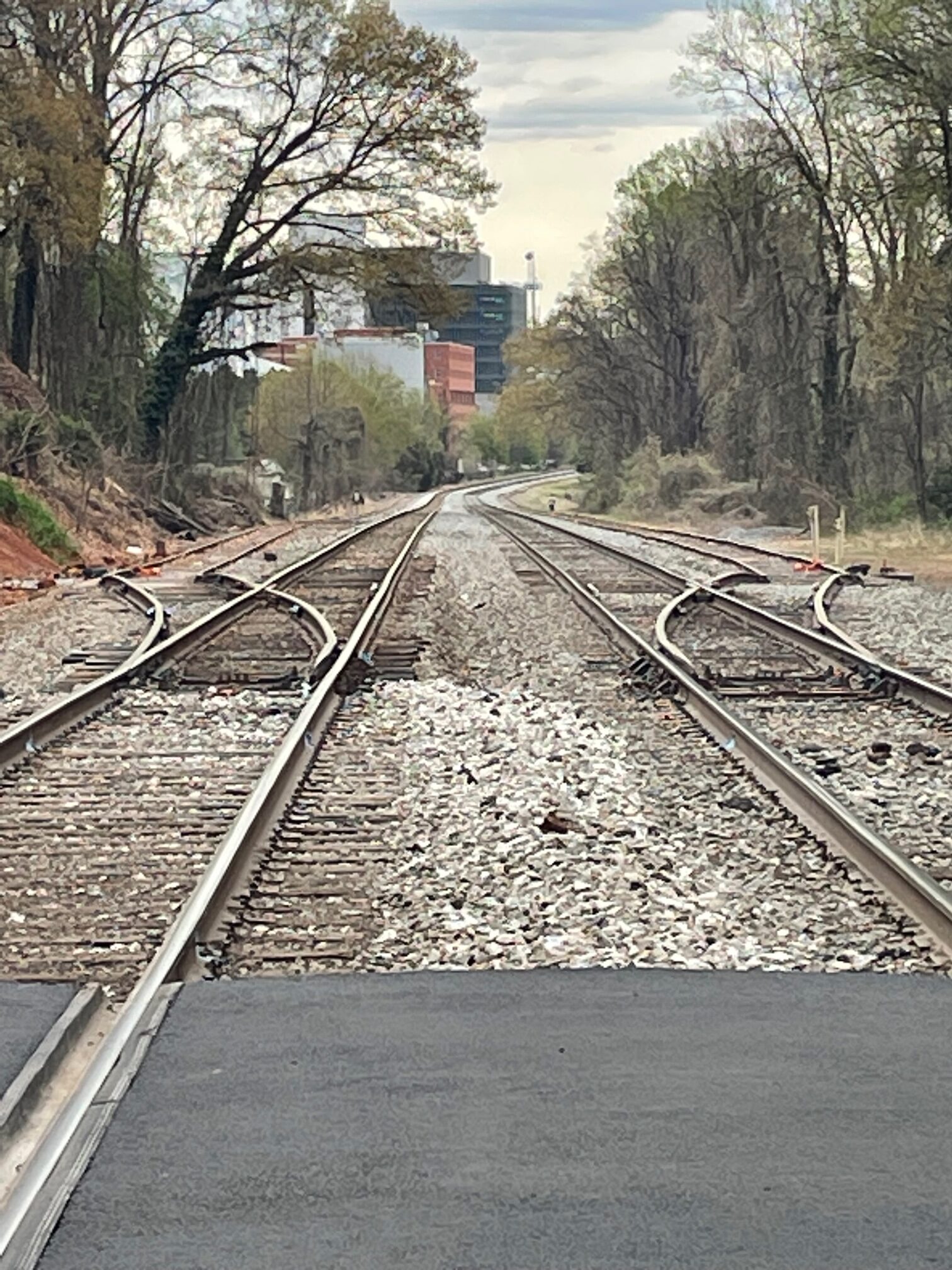
This week, Norfolk Southern periodically shut down three at-grade railway crossings in Charlottesville to perform maintenance on the underlying tracks. While the closure was temporary, it raises questions about how to make it easier to get across the linear barrier of the railroad.
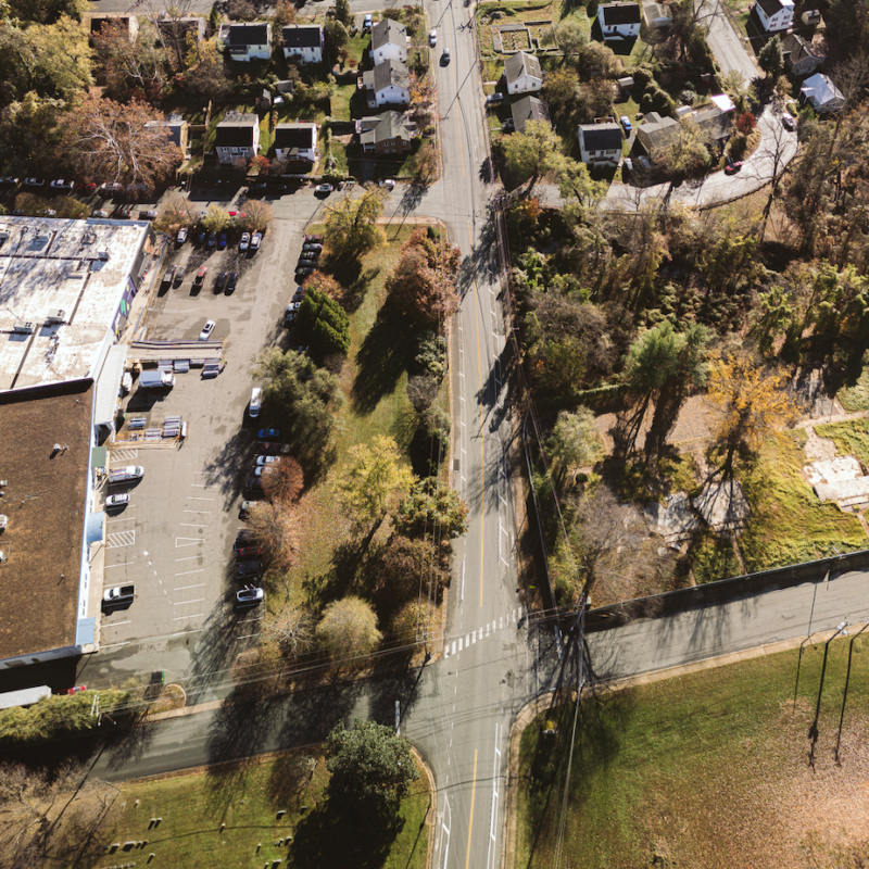
In all, there is a distance of 4,500 feet where the railroad bisects the Fifeville neighborhood from the University of Virginia without a pedestrian or vehicular crossing, between Shamrock Road and Roosevelt Brown Boulevard.
Collisions between vehicles and trains are not unheard of. In January 2018, a trash truck failed to clear a crossing near Crozet in time for an Amtrak train carrying members of the United States Congress to an event in Southwest Virginia. One of the passengers in the truck was killed.
Early growth patterns in Charlottesville were influenced in the late 19th century by the presence of two crossing railroad lines. At least one neighborhood plan aims for improvements to make the area more walkable in the 21st century.
“The expansion of Charlottesville’s railroad system in the mid-1800s brought development to Starr Hill,” reads a vision plan for the neighborhood adopted by City Council in 2021. “Because of its prime location at the junction of two railroads in the center of town, the neighborhood served as a dynamic transportation hub through the first half of the 20th century.”
Charlottesville’s Comprehensive Plan doesn’t have much to say about railroads other than a vague direction to upgrade the existing Amtrak station to the east of the point where the two railways cross.
The east-west tracks now owned by the Virginia Passenger Railway Authority continue to divide neighborhoods along the West Main Street corridor with at-grade crossings at Seventh Street SW, Fifth Street SW, First Street S, and Second Street SE.
The north-south tracks owned by Norfolk Southern have fewer at-grade crossings. The 2015 Bicycle and Pedestrian Master Plan includes a map that suggests tunnels underneath this railway line to connect the Greenbrier neighborhood with the John Warner Parkway trails. This plan also called for one to connect the Fifeville neighborhood with Jefferson Park Avenue neighborhood just south of UVA.
A developer seeking a special use permit for additional density on Grove Street Extended used the existence of that plan six years later in their application.
It referred to “sidewalk improvements along the new parcel frontage along Valley Road Extended that ultimately may be incorporated into a more robust pedestrian and bicycle improvement network if the multi-use tunnel under the railroad right of way, as called for in the [2015] Bike and Pedestrian Master Plan.”
According to Afton Schneider, the city’s director of communications and public engagement, there are currently no active plans to build either tunnel.
The Starr Hill Vision plan created by the New Hill Development Corporation suggests another location for a third grade-separated crossing. There is a passageway east of Seventh Street, just north of the Amtrak station, that is currently overgrown. The plan also calls for a seldom-if-ever used railway line to be converted into a trail. A spur from the main Norfolk Southern line splits from the main line and runs across Preston Avenue toward Schenk’s Greenway.
“Opening the tunnel and creating accessible paths along the abandoned section of railway spur would allow residents of several neighborhoods to access businesses, social venues, and needed services more safely and easily than currently available,” the plan continues.
There have been efforts to eliminate at-grade crossings before. The city converted a portion of Roosevelt Brown Boulevard into an underpass in the 1990s to eliminate conflicts across both lines.
