Albemarle County is in the midst of a two-year process to update its Comprehensive Plan, a guidance document to set goals and priorities for the county for the next 20 years. The plan covers programs for growth and development, education, transportation planning, housing and land use, and protection of natural resources.
However, the last Comprehensive Plan called for development of a Biodiversity Action Plan, which was finalized in 2018. Efforts to protect the biodiversity of the county, which covers a remarkably diverse array of ecosystems, was spurred by recognition that the area’s natural resources were not only valuable in their own right, but also were a vital part of the county’s economy, from agriculture to tourism, and its appeal as a place to live.
But a lack of information about what lives here has made planning to protect the county’s wildlife a difficult task. To fill in those knowledge gaps, two projects are underway: one tracks Albemarle’s elusive bobcats and the other analyzes the area’s many instances of roadkill.
Leah Jung, a Virginia master naturalist with a master’s degree in environmental management, was a member of the subgroup that developed the Biodiversity Action Plan. Among the questions the group examined, she says, were: “How will climate change affect the wildlife in the county? As Albemarle County continues to develop, will that push wildlife to move into Shenandoah National Park? How do we reduce habitat fragmentation and protect areas of biodiversity?” In trying to answer those questions, the subgroup faced a problem: There’s very little actual data about what species live where, what kinds of habitat(s) they need, and how they move within and between those areas seeking food, shelter, and mates.

Jung, a member of the county’s Natural Heritage Committee (a volunteer advisory body), got to thinking. The county has no funding for wildlife research, but central Virginia is an area with lots of academic institutions and people working on environmental issues. And one way to get interest (and support) is by studying a charismatic species—one that humans find compelling, like bobcats.
Jung put her networking skills into high gear. Her work on the Natural Heritage Committee had put her in touch with environmental professionals all over the state, including the Virginia Safe Wildlife Corridors Collaborative; Dr. Jared Stabach, leading the program studying wildlife mobility globally at the Smithsonian’s Conservation Biology Institute in Front Royal; and Dr. Brett Jesmer, newly hired at Virginia Tech, with research interests in studying wildlife mobility as an aid in conservation management.
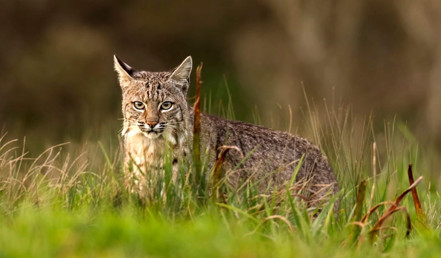
The result is the Bobcat Habitat Connectivity Project, a study to examine where bobcats live and move within northwest Albemarle County. Jesmer recruited Nicole Gorman, who had done graduate research tracking bobcats and coyotes in Illinois, to lead this project as her Ph.D. thesis at Virginia Tech. The Conservation Biology Institute donated some collars and satellite time for tracking, while Jung and Gorman did more networking, with help from the Smithsonian’s Virginia Working Landscapes program, to find landowners in the target area who would allow Gorman to trap bobcats on their property.
Why bobcats? Gorman says bobcats make a good study subject because “what we find has implications for large areas of the U.S. Bobcats live in almost all of the lower 48 states; they’re a very mobile species that can make use of a variety of habitats; they’re a mid-size mammal” (i.e., large enough to spot easily on wildlife cams but small enough to trap, sedate and tag easily). And then, the winning factor: “They’re cool. People are interested in them.”
The challenge is, bobcats—nocturnal hunters—are also notoriously secretive and elusive animals. Most Albemarle County residents have never seen one here (the species is not endangered, but it is under pressure from habitat loss). Gorman and her two assistants have been working in the field since January, looking for good spots to set up trail cameras, setting traps where bobcats have been seen, monitoring the traps daily, and tagging and collaring the animals. Baiting the traps is a skill: “We use venison, ham, beef, squirrels, even roadkill, but bobcats have high standards, it has to be fresh,” says Gorman.
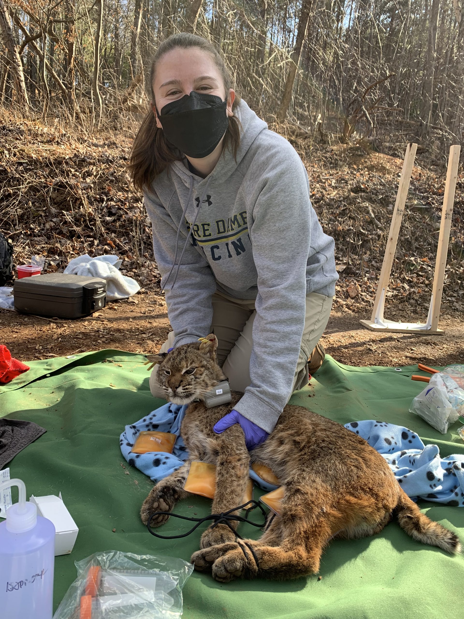
In four months, the team has managed to trap and collar six animals. Unfortunately, one of them, Bobcat #3, was killed by a car after only a few weeks. Trapping efforts will continue, but spotting bobcats is more of a challenge now that winter is over and food is easier to find.
Gorman will have a year to track the GPS data from each animal collared—after 12 months, the collars drop off and can be recovered. She hopes to conduct two years of field work; Jung says the project continues to seek funding. Then Gorman would like to expand her research, to monitor other mammals and see if there is a correlation between bobcats’ movement patterns and those of other species, with the goal of minimizing both barriers and human interaction.
As the data accumulate and can be analyzed, Jung hopes that information will help inform the Comprehensive Plan’s updates on land-use planning for both development and recreational space. “The Natural Heritage Committee is trying to find ways to help [the county’s natural resources] staff make the point that protection of environmental resources is important to the economics and the quality of life here,” she says.
All the project’s sponsors, says Jung, have been encouraged by the community support, including offers of housing for the researchers, access to private and community land, landowner’s support for monitoring on their land, and even dinner invitations for the researchers. “We look forward to sharing results from the study with the community,” she says, both through the planning process and on social media.
In the meantime, Gorman says, “I get to go hiking every morning. It’s the best job in the world.”
Unfortunately, the fate of Bobcat #3 is all too common for Albemarle County wildlife. Virginia has one of the highest rates of deer-vehicle accidents in the country (60,000 deer killed every year), and these incidents cost the state and its citizens about $533 million annually. That’s one reason why Virginia is one of the first eastern states to have developed a Wildlife Corridor Action Plan. It’s also why Albemarle County’s Biodiversity Action Plan includes a recommendation to “investigate a Route 29 underpass in southern Albemarle County to better connect eastern and western portions of the Southern Albemarle Mountains Important Site, a conservation priority area.”
Connectivity means providing safe corridors for wildlife to move from one area of their habitat to another. Options can vary. In our area, for instance, there are small tunnels installed under Route 29 at Rio Mills Road and Polo Grounds Road to accommodate the seasonal migration of spotted salamanders living in large numbers nearby, as well as eight-foot-tall fences placed along I-64 to funnel wildlife toward two existing culverts under the roadway (which has reduced deer-vehicle collisions by 92 percent). But any solution requires knowing what animals are accustomed to moving where and at what time of year. Here again, the county budget has no funding earmarked for wildlife survey work.
Enter the master naturalists, a national program of environment-minded volunteers with 30 chapters around the Old Dominion, including the Rivanna chapter based in Charlottesville. Michelle Prysby, director of the Virginia Master Naturalist Program, is also active with the Virginia Safe Wildlife Corridors Collaborative, and when she heard that Albemarle County was interested in doing survey work on wildlife corridors, it sounded like a perfect citizen science project for the Rivanna Master Naturalists.
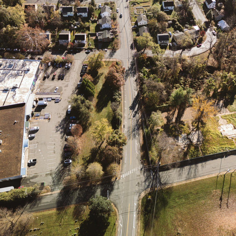
Prysby’s email solicitation went out in August 2021, seeking volunteers to drive Route 29 between I-64 and the Nelson County line and document animal sightings (both live and roadkill) using an online app. The goal was to collect data twice a week for at least a year, documenting what animals were attempting to cross the highway at what locations, and how that varied by season.

The response was strong, Prysby says. Over 16 months, through January 2022, 74 surveys were completed by 23 local volunteers clocking a total of 157 hours.
Ralph Henry and his wife Kathryn Levy, both master naturalists, were one of the most active pairs (two volunteers were required, one to drive and the other to use the app to record sightings). Henry has a science background, so he enjoys citizen science projects, and this one intrigued him “because it’s always sad when you see roadkill by the side of the road. I thought it was cool that the county was interested in protecting wildlife corridors.”
Henry and Levy made the drive on Monday mornings before going to work. He was surprised at what they were seeing. “I didn’t think we’d see so many dead animals,” he admits, “and I thought it would be mostly deer. I also thought it would be fairly regular. I was surprised by the seasonal variation.” In the fall, when deer are actively seeking mates, deer kills were frequent. Later, in the winter and early spring, came fewer deer and more skunks and raccoons. Opossums and squirrels were getting hit all year long. And, unfortunately, much of the roadkill was unidentifiable, except perhaps as mammal, bird, or reptile. His saddest sighting, Henry says, was a young adult black bear, hit and thrown into the roadside ditch.
Sightings also showed an effect from the weather. A large snowstorm in early 2022, for example, meant almost no sightings for a couple weeks, because animals were hunkered down and the snowplows effectively cleared the highway verges. Certain areas seemed to be more likely for animals trying to cross, like “just north of the Plank Road/Dr. Ho’s intersection,” Henry says.
People’s first reactions to hearing about the project were interesting. “They would either say, ‘Gross!’ or ‘Why?’” And the experience has Henry noticing roadkill much more as he travels other country roads.
(Full disclosure: This writer was also a RMN Roadkill Survey volunteer. When I told people I was spending several mornings a month counting roadkill—ranging from nothing to more than 20 carcasses a trip—their reactions ran the gamut from “What for?” to “Ewww. Do you have to pick it up too?” And my saddest sighting was an immature blue heron, which had apparently flown into a vehicle windshield and been tossed into the scrub alongside the road.)
Scott Clark, the county’s natural resources manager, says the Roadkill Survey is now on hold so that the first year of data can be analyzed (you can see the data dashboard at arcgis.com). “Our motivation was to improve our Biodiversity Action Plan by looking at connectivity in an area that’s not prioritized for development,” says Clark. “[Now] we have a lot of good data.”
Once the county knows more about wildlife movement across Route 29 South, it can form plans to reduce wildlife-vehicular interaction. There are existing culverts that weren’t designed as wildlife corridors, but could be used for that purpose if they are in the right places. Or it might be as simple a solution as signs that warn motorists where deer, bears, or other animals are likely to cross.
Fortunately, the survey found no signs of a massive salamander colony south of Charlottesville. Stay tuned.
